An historic early season for the High Plains that may never be rivaled in my lifetime, followed by a more subdued peak season. I had an exciting and memorable spring with several highlights, but botched way too many of the big days, in part because I lacked the in-vehicle Internet connectivity that some chasers had adopted by this time period. Looking back, this may be the year I'd most like a re-do on.
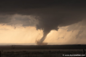
Quality tornadoes: 1 from 1 dayFebruary 2007
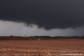
March 2007
April 2007
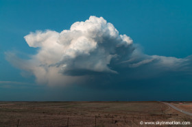
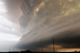
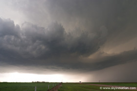
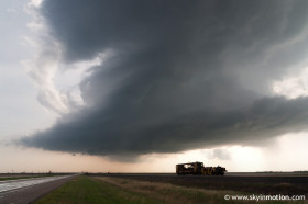
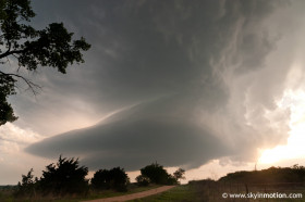
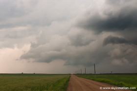
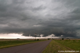
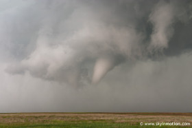
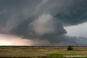
May 2007
June 2007
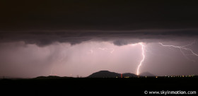
October 2007