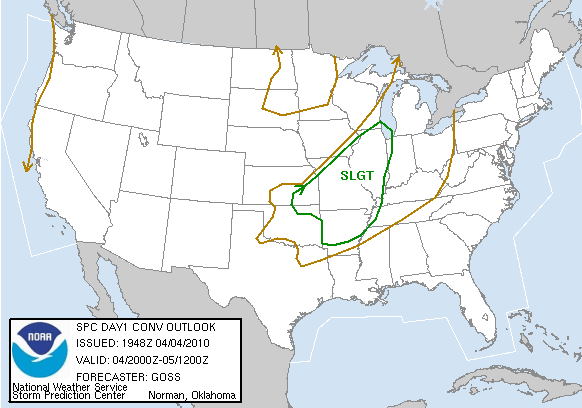
Evening supercells along a lifting warm front churn out big-time hail and even a few funnels.
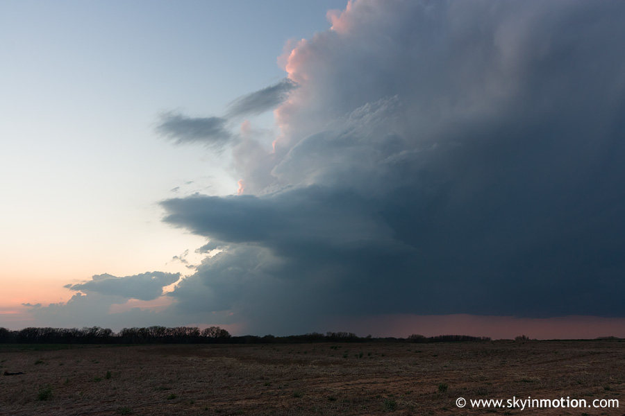
Severe weather was not forecast over OK this evening, but a stationary or slowly lifting warm front a couple counties N of I-40 had other things in mind. The HRRR indicated convective initiation around sunset over southwest OK for several consecutive runs during the afternoon, and not having chased true warm sector storms since September, I was not about to pass up any opportunity -- no matter how remote. Vivek and I departed around dinnertime and headed W on I-40. By the time we reached El Reno, substantial towers were visible to the NW, soon appearing on radar reflectivity. The western extent of the convection was near Elk City, while another updraft quickly solidified just W of Watonga. We pursued the latter initially, but right around sunset, it began to look raggedy and soft. Radar indicated the western storms remained healthy, so we blasted W on OK-33 into Custer Co. We stopped S of Putnam to watch this developing supercell with occasional CC lightning activity, unsure whether it would sustain itself as capping increased.
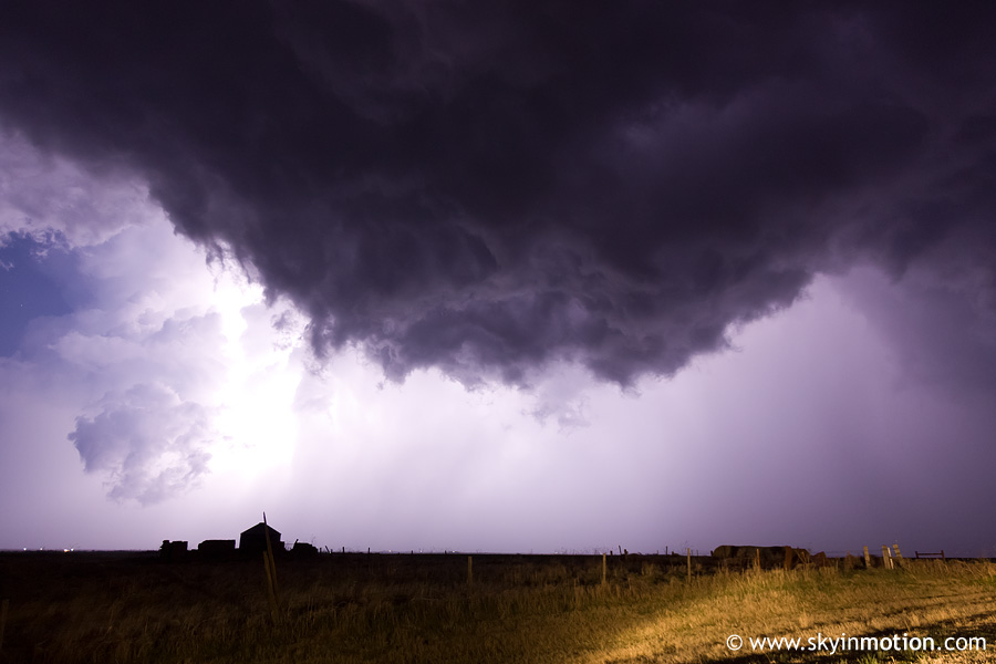
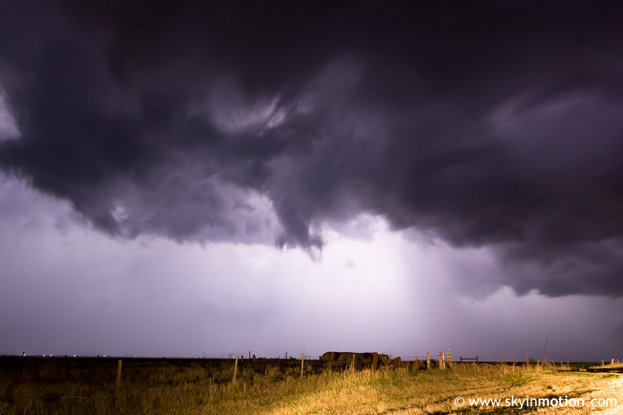
This Dewey Co. storm began to split soon thereafter, with the left split showing much more intensity on radar and with lightning activity. Meanwhile, the dying updrafts we'd left earlier W of Watonga had organized into a legitimate supercell near Enid with strong rotation evident on radar. How typical, I thought. We pushed N to Seiling just in time to get cored by the left split, slowing our already futile progress E to the Enid storm. Surprisingly, just as we made it to the eastbound road to Canton, our storm began to exhibit strong rotation on radar as the eastern storm declined. In short, we followed it all the way from Seiling to Watonga over a period of over an hour, with radar indicating 3-4" diameter hail for much of that time as we remained just S of the core. The highlight came near Hitchcock, when we observed two funnel clouds. The first was quite pronounced and roughly halfway descended to ground level, but I was unable to set up the camera in time for any photographic evidence. I was better prepared for the second, though it was substantially less impressive.
After the second funnel dissipated, the parent wall cloud did as well, and it appeared the entire storm would soon follow suit. We stopped for gas and Subway in Watonga and got home around midnight, having unknowingly salvaged the only day on which the impressive incoming longwave trough would produce supercells in OK.