We find the needle in the haystack in a marginal midsummer setup, albeit from quite a distance.

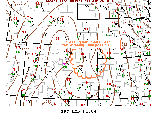
As an unseasonably deep trough dug into the Great Basin, an impressive combination of instability and shear for mid-summer was forecast over the central High Plains. Granted, mid- to upper-level flow was fairly meager, as was low-level moisture along the Front Range and up to about 100 mi. E. But with upslope flow all but guaranteeing convective intiation during the afternoon east of the mountains, and 0-3 km EHI values near 10 awaiting those storms as they moved across a NW-SE moisture gradient over eastern CO, it was too good an opportunity to pass up in August.
Brandon, Daniel Betten and I took off from Norman around 5:15am after confirming that we were really serious about driving to CO for a 2% tornado risk (per SPC). Some elevated storms around the OKC metro area provided a nice lightning show for the first hour of the drive. We made it to Salina just after 9am, where we stopped for snacks and a brief look at the latest data. Thankfully, short-term models indicated the most favorable parameters would set up over east-central CO, which meant a more manageable drive than the WY border area we had originally been targeting. So we took I-70 W to Limon, stopping for lunch in Goodland along the way. By 1:00pm MDT, we had arrived in Limon, where we met up with Matt Chatelain. After an hour or so, we started meandering W towards the Front Range, where numerous upslope storms were organizing.
While our ideal scenario involved initiation farther E, we figured the storms rolling off the mountains could easily reach the more favorable low-level moisture near and E of Limon well before dark. As we pushed W on I-70, one storm over Jefferson Co. intensified to severe levels, and was soon producing 1" hail in Denver. Unfortunately, by the time we made it to Bennett and met up with the storm, it had visibly weakened. We pulled off at a gas station pondering our next move; after 15 minutes or so, radar indicated a lone cell firing way back near Ft. Morgan. Finally, a non-upslope storm in the richer moisture! We flew E on US-36 for some time trying to play catch up; after two hours of sleep the night before, I can't say I was awake for the whole 70-mile drive out to Anton, where we finally turned N.
Visually, things were a mess, and we were flying blind due to the exceptionally poor data coverage in the Colorado Plains. As we pushed N towards Akron, it seemed the cell that had looked promising an hour earlier when we'd had our last radar update was still a pile of mush. When we finally managed to get new data somewhere between Anton and Akron, we were rather surprised to see a tornado-warned supercell along the CO/NE border just N of Sterling. This meant we needed to keep on trekking N, and fast. After finally reaching I-76 at Atwood, we only had a bit farther NE to go to catch the tornado-warned storm, but the overabundance of clouds due to increasingly-widespread convection was hampering our ability to see anything of significance.
No sooner had we blown past the final Sterling exit on I-76 than Matt noticed an impressive wall cloud behind us, way off to the SW... under the stupid cell we'd bypassed N of Akron because it had looked like garbage for over an hour! Of course, we were now 10 miles from the next exit if we wanted to turn around. A couple minutes later, we watched what appeared to be a nice elephant trunk tornado descend from the storm, but it was just so far away (probably 15-20 miles) that photography was futile. Not only that, but we watched it for maybe 20-30 seconds before it got lost behind hills (we were flying E, away from the storm, so we could get to that next exit and turn around). Unsurprisingly, by the time we got to the westbound lanes, the funnel was completely gone. Still, we intercepted the outflow-dominant storm as it skirted just S of Sterling, experiencing what seemed like 5+ minutes of sustained 50+ mph winds, likely with a few gusts in the 70 mph range.
Having at least experienced something "severe" to justify the marathon trip, we grabbed dinner in Sterling before heading to Matt's house in Colorado Springs for the night. As luck would have it, a quick-hitting stomach bug gave me the wonderful pleasure of a second nearly-sleepless night in a row; after a quick tour of the incredible Garden of the Gods the following morning, I spent the 10-hour drive back to Norman in near-delirium, but can't say I regretted the decision to go in the end!