::
chase logs ::
2009 :: june 7
Sunday, June 7, 2009 — Southeast NE-Northwest MO
Synopsis
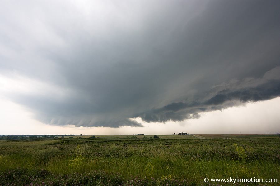
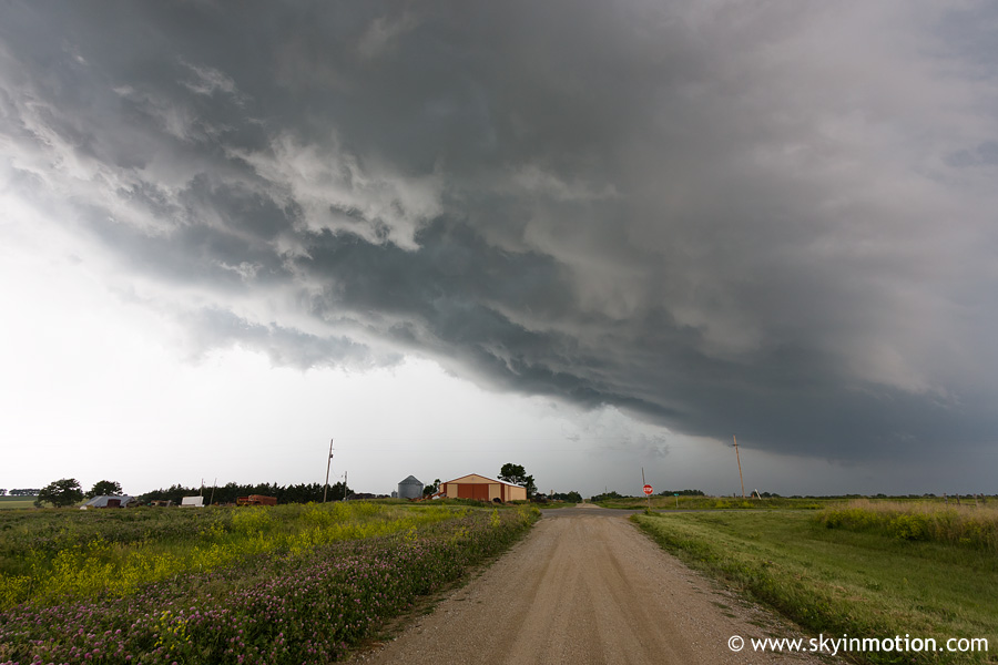
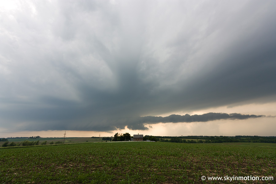
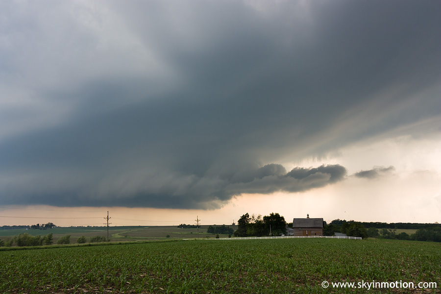
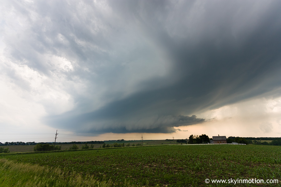
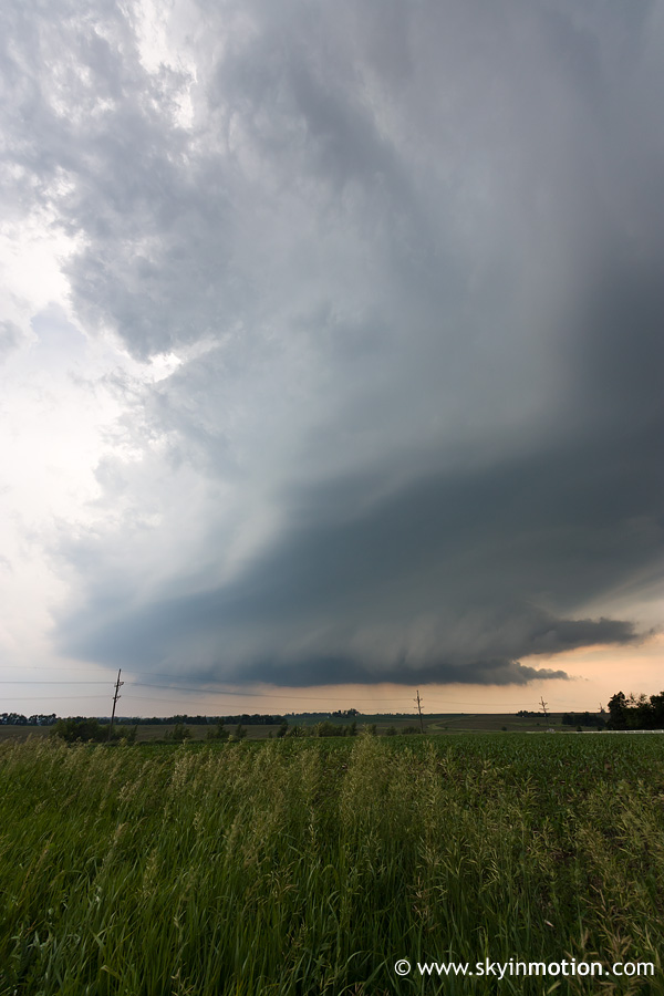
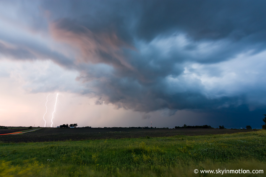
A couple supercells are intercepted along a warm front, but the curse of 2009 continues and no tornadoes occur before dark.
Chase Photos
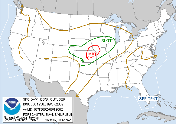
Meteorological Background
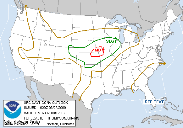
SPC Convective Outlooks
SPC Watches
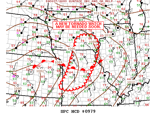
SPC Mesoscale Discussions
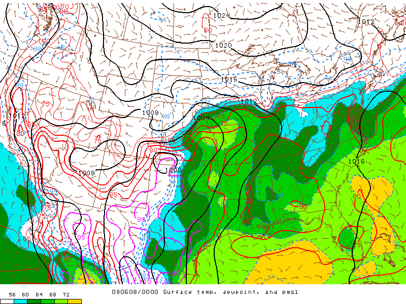
SPC mesoanalysis at 00 UTC
Storm Reports