Wall cloud and HP structure with a supercell near Waynoka, OK.
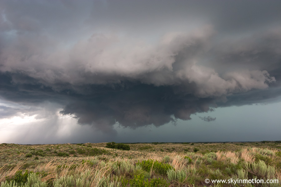
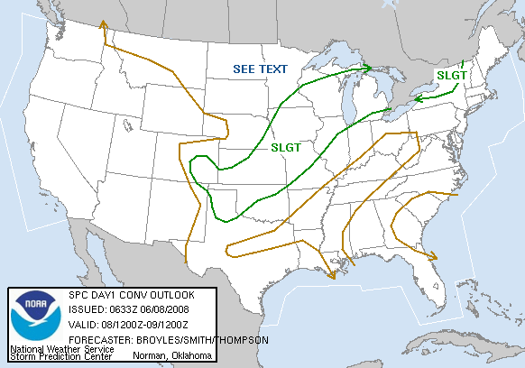
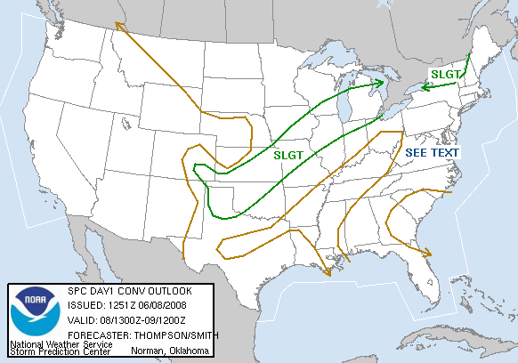
With a cold front pushing steadily southward into the Southern Plains, this wasn't exactly an ideal nor classic late-spring setup. Veering of low-level winds was also a concern, along with marginal flow from 500 mb up for sustained classic supercells. Alas, it was the weekend and the conclusion of chase season was creeping ever closer, so I couldn't sit home. Brandon and I left around 1:00 for Shamrock, but stopped in Clinton after seeing the front make more progress than expected and moisture mixing out to the west. Linear convection was already developing in central and northeast KS, but soon a few semi-discrete storms rapidly appeared and strengthened from near Woodward southwest towards Canadian TX. We hauled north out of Clinton and eventually met up with the northernmost cell near Waynoka. In a surprising bout of luck, the storm had not only remained relatively isolated (in spite of linear forcing) during the hour it took us to catch up, but was beginning to exhibit low-level rotation on radar just as we arrived.
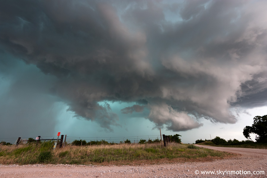
We stopped a mile west of Waynoka and watched a couple rotating wall clouds cycle, but the storm looked high-based and lacking in well-defined supercell structure for the most part. Right as I questioned dropping down to another storm in Ellis Co., a new wall cloud appeared just to our north, and quickly produced a nice funnel cloud a few miles NW of Waynoka. I wasn't able to get shots of the brief funnel since we were driving, but did capture the parent wall cloud a bit afterwards.
Everything was pretty much downhill from here. My original intentions for the day had been to get on storms very early, since weak upper-flow would mean a quick transition to HP; we'd followed through with that, but the storm just wasn't able to do it before becoming a mess. We followed it east of Waynoka to near Hopeton, at which point the typical HP glowing-aqua core was about the only thing left to photograph.
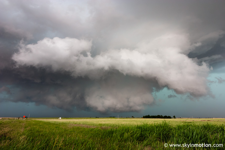
After that, we began the drive home, but took the slightly longer southern route to I-40 (as opposed to heading over to I-35) since there was a tornado-warned storm moving into Major Co. from the west. As expected, it quickly became HP and embedded-looking on radar, so we didn't mess with it. Then, when we got to Watonga, a new and more impressive-looking supercell was moving along the Beckham/Roger Mills Co. line about 80 miles to our west, with about an hour of daylight left. We stopped and refueled at Geary in case we decided to pursue it, but again, it rather quickly lost its strong low-level rotation and became caught up in the developing line. On our way back, we tracked a monster discrete supercell on radar in the southern TX Panhandle that had initiated off the Caprock, which was probably the show of the day - though I'm not sure anyone was out to see it!