::
chase logs ::
2010 :: june 9
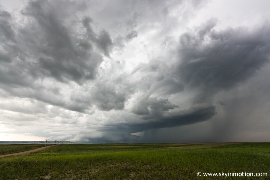
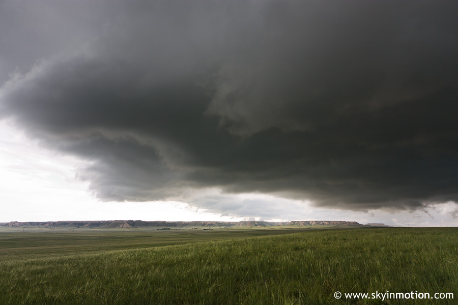
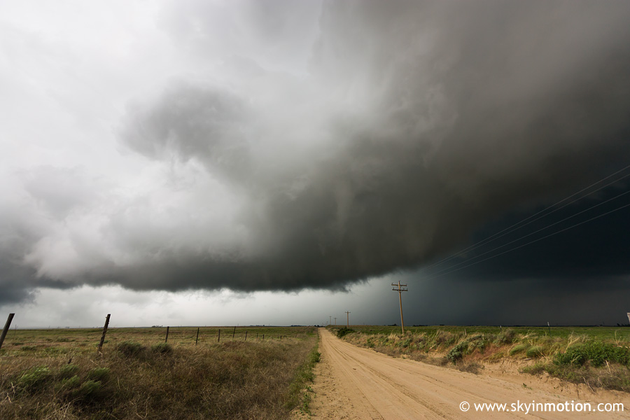
Wednesday, June 9, 2010 — Southeast WY
Synopsis
Upslope along the Laramie Range finally gives way to legitimate supercells by evening.
Chase Photos
Meteorological Background
SPC Convective Outlooks
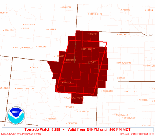
SPC Watches
SPC Mesoscale Discussions
SPC mesoanalysis at 00 UTC
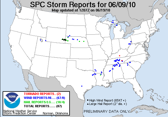
Storm Reports