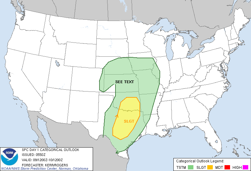
Marginal dryline supercells in line with early March climo.

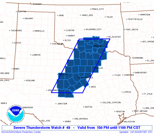
Several good troughs had dug into the Desert SW during the late winter, but this was the first to be accompanied by decent moisture and a Plains dryline that was well-timed diurnally. Unfortunately, the timing of the best dynamics was still off, which cost this system any respectable tornado potential it might have had. Convection initiated along the dryline during the mid-late morning hours over much of W OK and NW TX, gradually intensifying through the afternoon as it encountered better low-level moisture closer to the I-35 corridor. By lunchtime, new cells were developing W of the DFW Metroplex in an environment with moderate instability (~1000 J/kg SBCAPE), so I took off down I-35 for a gander. Low-level winds were rather veered, as is typical with mis-timed systems, but models hinted that the low-level jet might back to ~SSW near I-35 in N TX by 22-00z.
By the time I reached Gainesville, a couple semi-discrete supercells were ongoing from near Eastland to Jacksboro. Additional cells existed all the way NNE up the dryline/cold front to near Norman, but everything N of the Red River was getting messier by the minute, lacking any substantial surface-based buoyancy. I zig-zagged through a maze of less than desirable backroads SW of Gainesville, eventually emerging on US-81 at Alvord. By this time one (very) HP supercell producing golfball hail was located a bit to my WNW, while another, more discrete cell was approaching from the SW. I briefly played around in the core of the former near Sunset, but by that point it had weakened; dimes and nickles fell torrentially for over 10 minutes on the Montague/Wise Co. line, but even the largest stones were only quarters. Afterward, more cells predictably flared up all the way down to and S of I-20, which interfered with the formerly-discrete supercell now scraping just NW of Decatur.
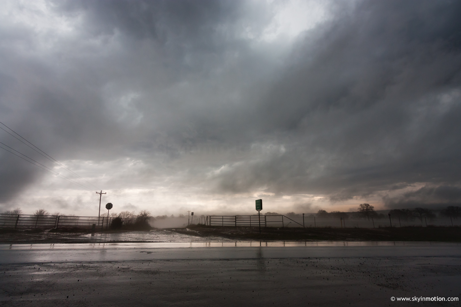
Around this time (~4:45pm) it became obvious that linear mode was winning out over my target area, so I started meandering back toward Gainesville. However, a bit WSW of Forestburg, I stumbled upon a scene that at least helped to make the trip worthwhile: dense, shallow hail fog left behind by the cell whose core I'd rode out earlier. Here, again, most of the leftover stones were under an inch in diameter, but accumulations in the grass were more copious than I'd seen near Sunset. I lugged out the tripod and snapped a few photos, although in hindsight, I wish I'd first done a quick overview with the camcorder.

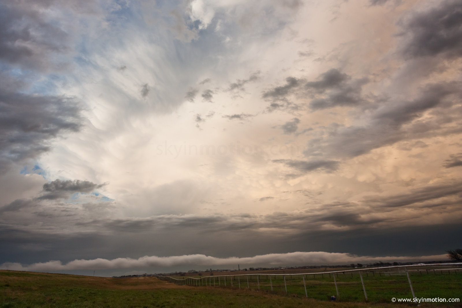
As I neared Ardmore on the trip home, anvil and mammatus behind the marginally-severe line racing into the jungles of SE OK were surprisingly impressive, also puncutated by an extensive roll cloud in the foreground.